



3 THINGS TO KNOW:
- Breezy and drizzly tonight, Wednesday
- Seasonal temps, in the 50s
- Frost possible Friday night
FORECAST:
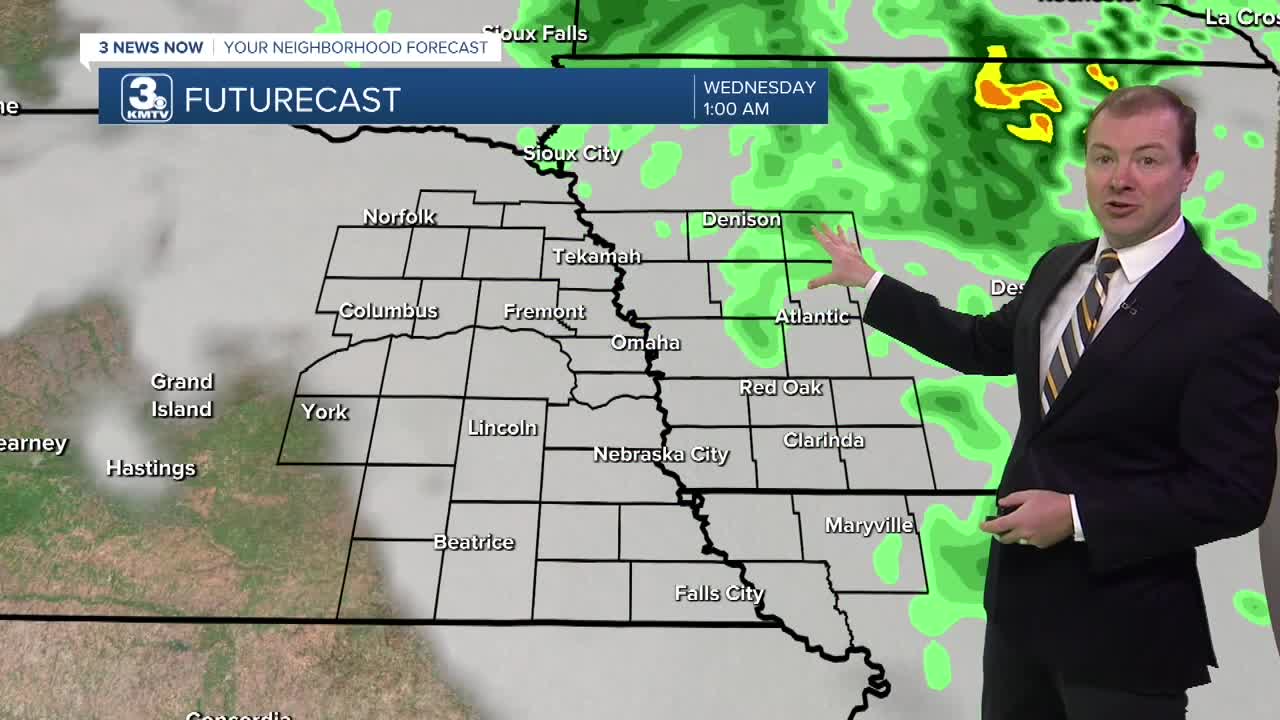
It will take some time for today's rain to clear out of the region, through 10 PM. Until then, it stays windy, drizzly and cool with temps in the upper 40s to low 50s. Eventually the precipitation moves off to our northeast overnight, but it stays breezy in to Wednesday, with northwest winds at 15-30 MPH.
It will remain cool out for Wednesday and Thursday, with cloudy skies and occasional pockets of drizzle. The best time to see rain will be Wednesday evening into early Thursday. The wind will begin to settle down Thursday night.
Friday should see some clearing of our cloud cover, and this may allow for temps to hit the lower 50s under partly sunny skies. By Friday night, there is a chance at frost around the region with temps in the mid 30s.
Slightly warmer than average weather rolls back into the region this weekend and next week, including a period of extended dry time. Look for temps in the low to mid 60s by Sunday.
TUESDAY NIGHT
Mostly Cloudy
Drizzly & Breezy
Low: 45
Wind: NW 15-30
WEDNESDAY
Mostly Cloudy
Breezy
High: 52
Wind: NW 15-25
THURSDAY
Mostly Cloudy
Cool
High: 52
Wind: NW 5-15
Share your weather pictures with KMTV:
- Email to News@3newsnow.com
- 3 News Now Facebook page
- Use the hashtag #3NewsNow on Instagram or X.
 Facebook
 YouTube
 Instagram
 X
