



3 THINGS TO KNOW:
- A couple of cooler days ahead
- Frost, near-freezing conditions Friday night
- Staying rain-free through next week
FORECAST:
You may even grab that coat on your way out the door this morning! Temps are starting off in the upper 30s, and we've got a lot of clouds out there.
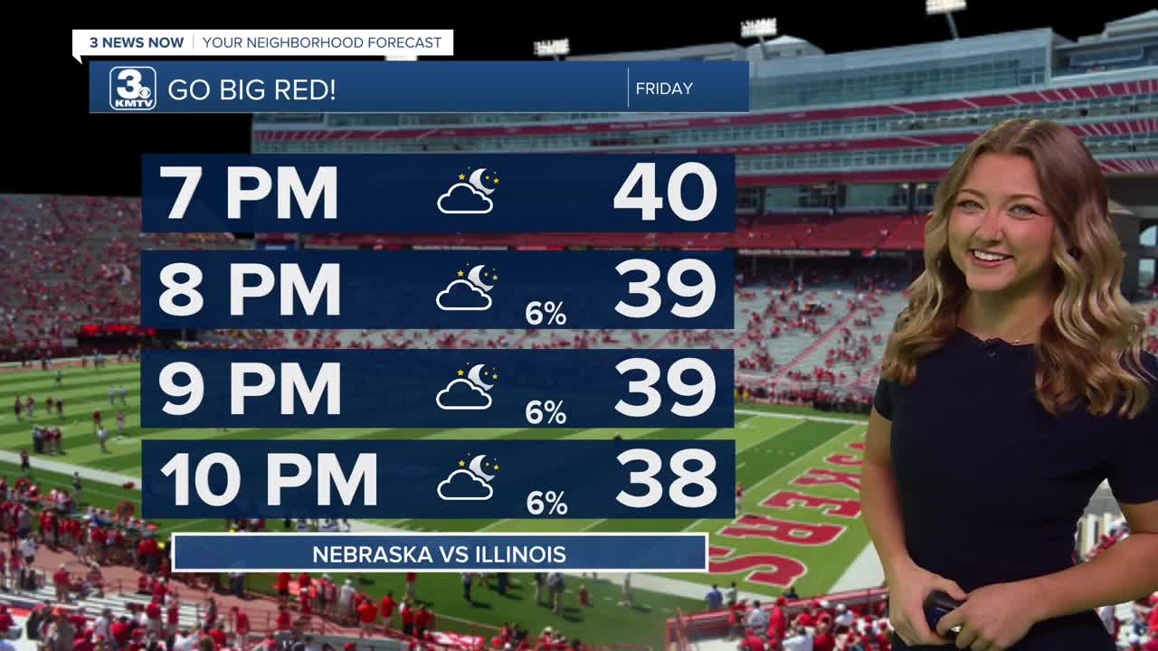
Later today, most areas won't even break 50 degrees for the afternoon high! We may see a little bit of sunshine peek through, but it will still feel quite chilly out there, especially for high school football games. If you're headed to Illinois for Husker football, you'll still need a jacket or coat out there as well!
The next few upcoming nights will have frost potential around Omaha, mainly Friday night where it will be widespread, and temps will be in the low 30s if skies become clear enough...We feel it will. Areas closer to Norfolk, NE and Denison, IA could get as cold as 30 degrees. Some of the windchills are in the 20s for Saturday morning as well!
Slightly warmer weather rolls back into the region this weekend and next week, including a period of extended dry time. Look for temps in the upper 50s Saturday, and the low to mid 60s by Sunday through much of next week.
Next Monday we warm all the way back up to the upper 60s, so if you've missed the warmer weather after these next couple of days, have patience!
The next best chance for rain would likely not be until after next week. It looks pretty dry for now.
FRIDAY
Partly Cloudy
Cool
High: 48
Wind: NW 5-15
FRIDAY NIGHT
Chilly
Frost Potential
Low: 32
Wind: NW 10-15
SATURDAY
Mostly Sunny
Near Average
High: 56
Wind: NE 5-15
Share your weather pictures with KMTV:
- Email to News@3newsnow.com
- 3 News Now Facebook page
- Use the hashtag #3NewsNow on Instagram or X.
 Facebook
 YouTube
 Instagram
 X
