



3 THINGS TO KNOW:
- Last night in the 20s for a while
- Sunny and dry through Wednesday
- Turning milder with rain late next week
FORECAST:
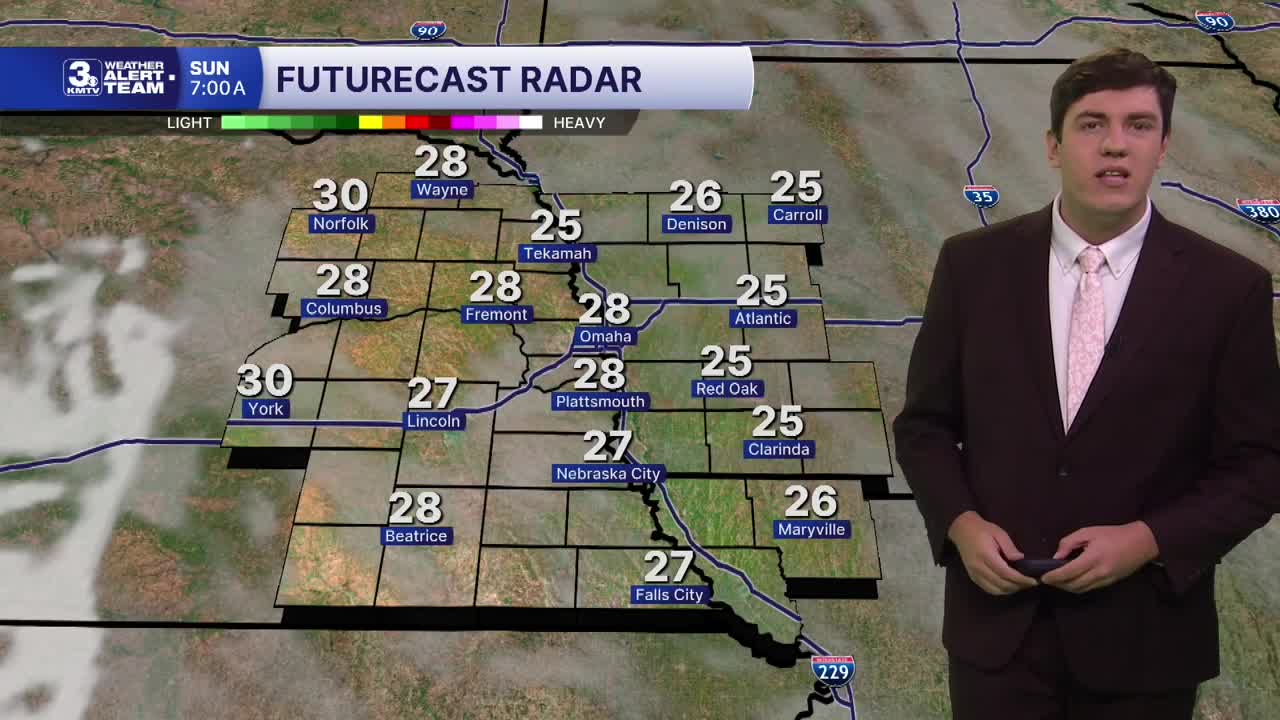
Once the sun sets around 5:15 PM, it quickly gets cold again tonight with lows in the mid to upper 20s, not early as cold as it was Friday night, and this may be our last night in the 20s for several days.
We warm up a little more on Sunday and Monday, back in the 50s with sunshine.
We start to get breezy for Tuesday as highs crest into the upper 50s.
The 60s return on Wednesday with a 25-35 mph wind. With a cold front in the evening, a small rain chance is possible Wednesday night, but many of us will stay dry.
The cold front pulls temperatures back a bit, into the upper 50s, on Thursday.
A larger storm system arrives by Friday, kicking up our wind once more, and bringing temperatures back into the mid-60s. Rain becomes more likely Friday night into Saturday morning.
While colder air begins to move back in Saturday, we are NOT cold enough for any wintry precipitation.
SATURDAY NIGHT
Mostly Clear
Chilly
High: 27
Wind: SE 5-10
SUNDAY
Mostly Sunny
Slightly Warmer
High: 52
Wind: S 5-10
MONDAY
Mostly Sunny
Above Average
High: 56
Wind: S 10-20
TUESDAY
Partly Cloudy
Warmer & Breezy
High: 59
Wind: S 15-30
Share your weather pictures with KMTV:
- Email to News@3newsnow.com
- 3 News Now Facebook page
- Use the hashtag #3NewsNow on Instagram or X.
 Facebook
 YouTube
 Instagram
 X
