



3 THINGS TO KNOW:
- Chilly, but not frosty overnight
- Above average temps Sunday and into week
- Staying rain-free through next week
FORECAST:
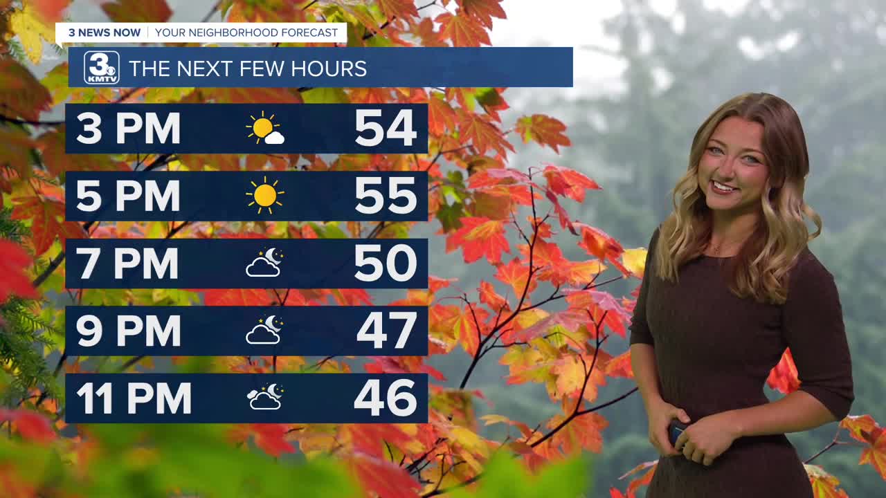
We had a bit of a chillier Saturday up until this afternoon, with near average temps for most areas! As we head into the overnight hours, we can expect temps to bottom out in the 40s or upper 30s in some areas. Frost isn't a concern for most tomorrow morning.
As we head into our Sunday, the warmer trend continues! We can expect lots more sunshine on Sunday and highs in the 60s. We look even warmer for Monday, as some select areas might even see 70 degrees!
Warmer than normal conditions, in the low 60s, are expected much of next week, but there may be a cool-down around next Thursday where daytime temps dip in the 40s/50s again. We will watch for another chance at freezing/frosty conditions next Thursday night.
The next best chance for rain would likely not be until after next week. It looks pretty dry for now until after NOV 13-15th.
SATURDAY
Mostly Sunny
Near Average
High: 54
Wind: E 5-15
SATURDAY NIGHT
Chilly
Mild
Low: 42
Wind: NE 5-8
SUNDAY
Mostly Sunny
Warmer
High: 62
Wind: E 5-15
MONDAY
Mostly Sunny
Even Warmer!
High: 68
Wind: E 5-15
Share your weather pictures with KMTV:
- Email to News@3newsnow.com
- 3 News Now Facebook page
- Use the hashtag #3NewsNow on Instagram or X.
 Facebook
 YouTube
 Instagram
 X
